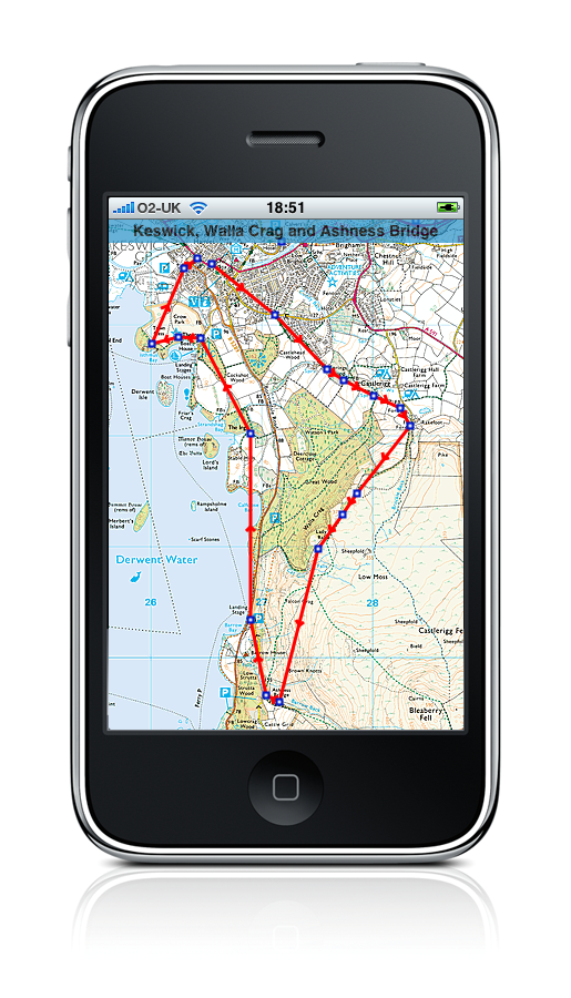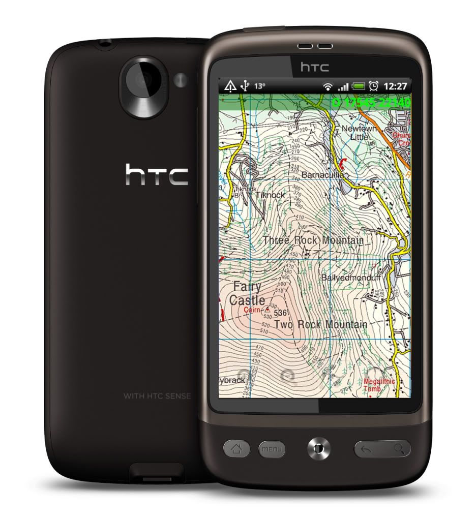
I’ve been using ViewRanger on my smartphone for about a year now. ViewRanger is a GPS application that allows you to download maps onto your phone, and then use them to plan trips, guide you around an area, all the usual stuff you do with a GPS. The nice thing about ViewRanger is that they’ve licenced the maps from Ordinance Survey Ireland (OSI), so you can get the 50000:1 (Discovery series) in a variety of delivery options. I initially bought the app and a “tile pack” for about €20, which lets you download small portions of Ireland on-demand. This is very handy when you’re planning a trip to a particular area, in that you can download the tiles for the area ahead of time. However, if you want to be completely flexible, you can get all 26 counties of Ireland for €150, and Northern Ireland for a further £40. This has the added advantage that when you’re out and about, you don’t need to download any data over the 3G connection, saving you data charges, and works well in remote areas where there’s no data connection available. I got the 26 counties recently, which came in a 1.1GB zip file. Uploading to the phone was a breeze, and once the registration key was entered I could zoom into anywhere in the 26 counties with 50000:1 detail.
The maps, as everyone who’s ever used a Discovery Series map knows, contains a tremendous amount of detail. They have all the contours, roads, Holy Wells, Promontory Forts, etc etc. Also, all the back roads that you’d ever need to get as close to the coast as possible if you’re into coastal landscape photography. Some of the roads shown are so small as to not be drivable. To have this level of detail available on your phone is a great aid to the Irish Landscape Photographer. I’ve found some great new areas (new to me, anyway) using ViewRanger. It’s also great to use in conjunction with The Photographers Ephemeris (TPE) to plan sunrise and sunset trips, as TPE uses Google Maps which requires a 3G connection and does not have the detail contained in the OSI 50000:1 maps. I’ll probably do a small article on TPE as a follow-up to this, as it’s another very handy tool for photographers.
 If you order ViewRanger for the iPhone, you need to go through the app store, which will cost you €20, but that comes with a pack of tiles for the country of your choice. For other phones, the app is free, but you pay seperately for the map packs. Tile packs are about €20, individual provinces are about st£60, Northern Ireland is about st£40, and WholeEire.zip will cost you st£120 (€150).
I initially started using ViewRanger on a SonyEricsson Satio touchscreen smartphone, but then got and iPhone 4. ViewRanger support were very quick in helping me move my licences from the Satio to the iPhone at no extra charge.
For more information , see the official ViewRanger website at www.viewranger.com.

(Images used with permission)